GIS BLOG
LATEST
Mark Dupree, Manager of GIS Services, will be presenting “Using GIS for Mainstreaming Collection of Asset Information” at the 2018 Illinois Collection...
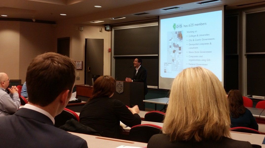
Mark Dupree and Chris Merino (part of TAI’s GIS team) both attended the Illinois GIS Association (ILGISA) Annual Conference on October 2nd,...
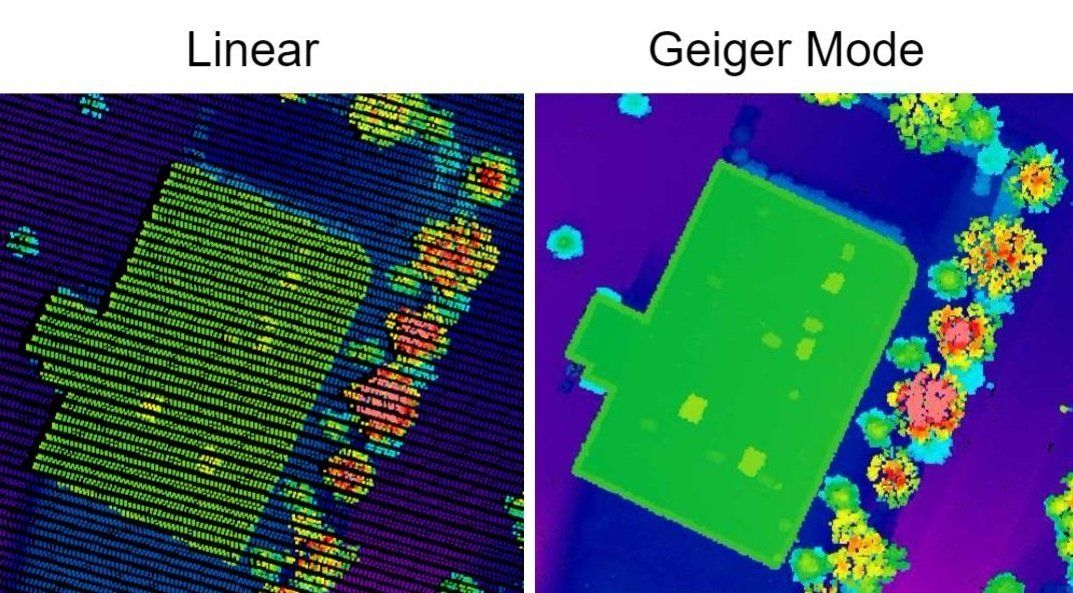
New Light Detection and Ranging (LiDAR) will soon to be available for Cook, Kane, Lake, and McHenry counties. These four counties, in...
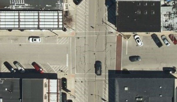
Communities in Lake, Kane and McHenry counties are in for a big surprise. New 3-inch high resolution color orthoimagery is coming soon....
As your GIS mapping program begins to grow, it becomes harder and harder to find good free datasets (shapefiles) to use in...