Free GIS Datasets
As your GIS mapping program begins to grow, it becomes harder and harder to find good free datasets (shapefiles) to use in your GIS. There are a lot of sites that claim they have links to free datasets but all too often they are old or no longer working. I have found the following websites to be the most up to date links with a lot of really good free datasets (shapefiles):
Illinois County Maps and Datasets – http://www.gis2gps.com/GIS/illcounties/illcounties.html
Categorized List of Links (over 300) – https://freegisdata.rtwilson.com/
Categorized Spreadsheet of Links – Dr. Karen Payne’s GIS Data Repositories
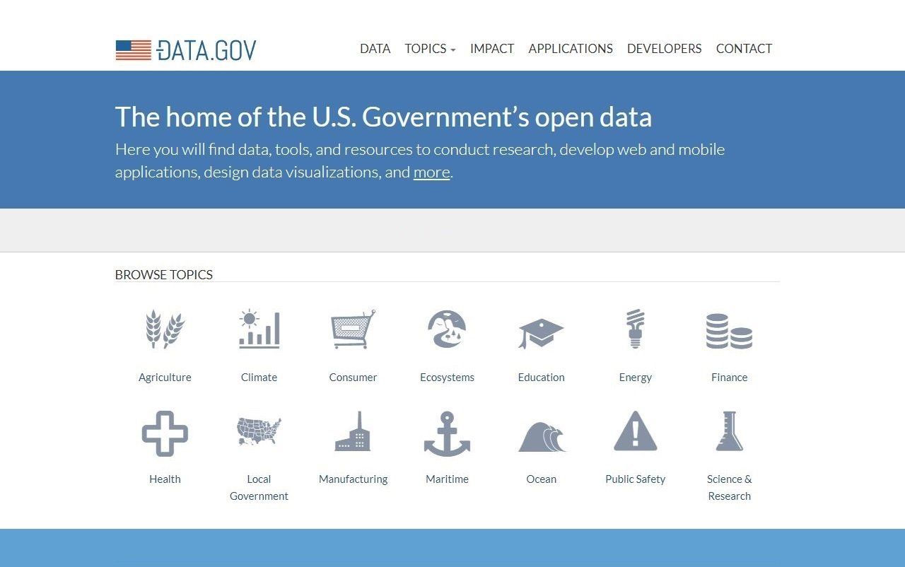
U.S. Government’s Open Data – https://www.data.gov/
GIS technology is a powerful tool as it can be used to communicate important information about what is happening in our community. The above datasets are a wonderful way to fill in some of the missing pieces of your GIS.