Corporate Office
40W201 Wasco Road, Suite D
St. Charles, IL 60175
Phone: 630.587.0470
Fax: 630.587.0475

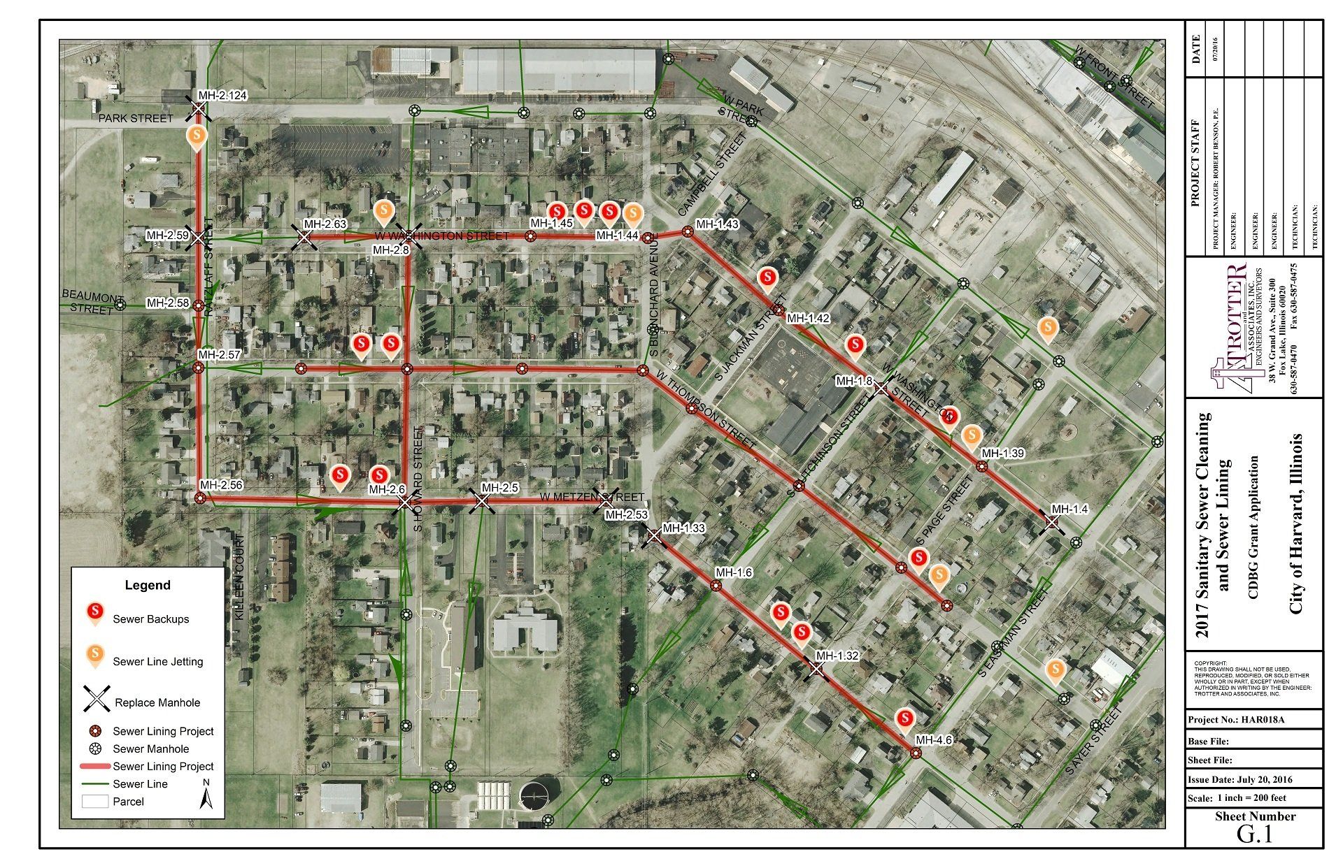
City of Harvard – GIS Conversion of Water Distribution and Sewer System Maps
The City of Harvard had an existing AutoCAD data file that included their water system distribution map and an AutoCAD file with their storm water system maps. The City wanted an inexpensive way to start building and collecting water and sewer data. They asked Trotter and Associates, Inc. to help them build a starter GIS to begin the process.
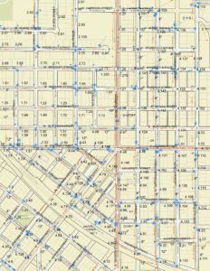
Trotter and Associates, Inc. worked with the City and using existing CAD files, converted and moved them to their approximate spatial positions. TAI then put the newly created water and sewer layers along with additional GIS data, secured from County, State and Federal databases, into an ArcGIS geodatabase.
The City of Harvard staff began collecting the true location associated attributes of each of their water and sewer assets. During this project, TAI, also incorporated additional spatial information creating the City of Harvard’s first Geographic Information System.
As the City collected the water and sewer points, lines and polygons, TAI was able to use the newly updated GIS to create an exhibit to complete a CDBG application for sewer improvements. The City was successfully awarded the grant.